Introduction
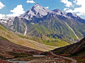
The name Karakoram is believed to have originated from the Turkic languages and can be roughly translated to mean “black gravel” or “black stones,” reflecting the dark-colored rocks and rugged terrain characteristic of the region. The Karakoram Range is renowned for its high peaks, including K2, the second-highest mountain in the world, and the Karakoram highway.
History of Karakoram Highway
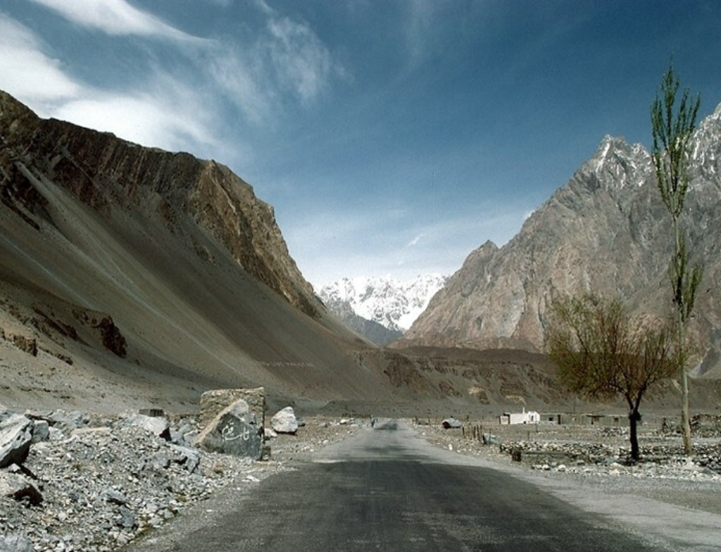
The Karakoram Highway (KKH) was first intended in the 1960s as part of a Pakistan-China collaboration. Construction of the route began in 1966 and was finished in 1978. The KKH is strategically significant because it connects China’s western provinces, particularly Xinjiang, with Pakistan’s northern areas. To ensure its safety and functionality, the KKH has undergone several development and renovation projects over time. It remains a famous emblem of engineering, as well as a wonderful route that highlights the beauty and diversity of the Karakoram mountain range. Karakoram Highway is also known as the Friendship Highway in China.
Importance of Karakoram Highway
It is an important trade route, facilitating the transportation of goods between China and Pakistan. Additionally, this Highway serves as a major tourist attraction, drawing adventurers and nature enthusiasts from around the world. It has boosted tourism and encouraged cultural exchanges, allowing travelers to explore the stunning landscapes.
CPEC Karakoram Highway
Amidst the breathtaking landscape, a modern economic lifeline has emerged—the China-Pakistan Economic Corridor (CPEC). It’s a flagship project under China’s Belt and Road Initiative (BRI), which envisions comprehensive connectivity between Gwadar Port in Pakistan and China’s northwestern region, Xinjiang.
Importance of CPEC
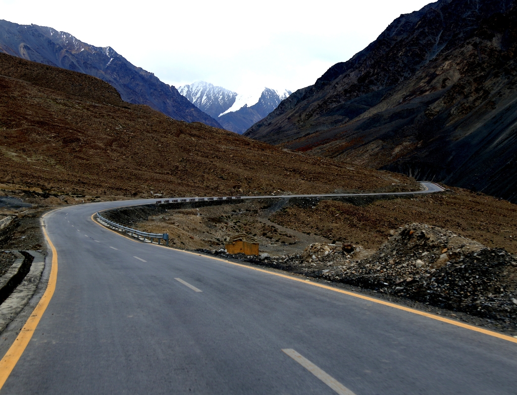
A significant aspect of CPEC involves the extensive upgrade and expansion of the Karakoram Highway. This endeavor aims to modernize the existing infrastructure, widen road networks, and enhance the highway’s capacity to accommodate the increasing flow of trade. The improvements not only facilitate smoother transportation but also contribute to the socio-economic development of the regions along the route.
Karakoram Highway Weather
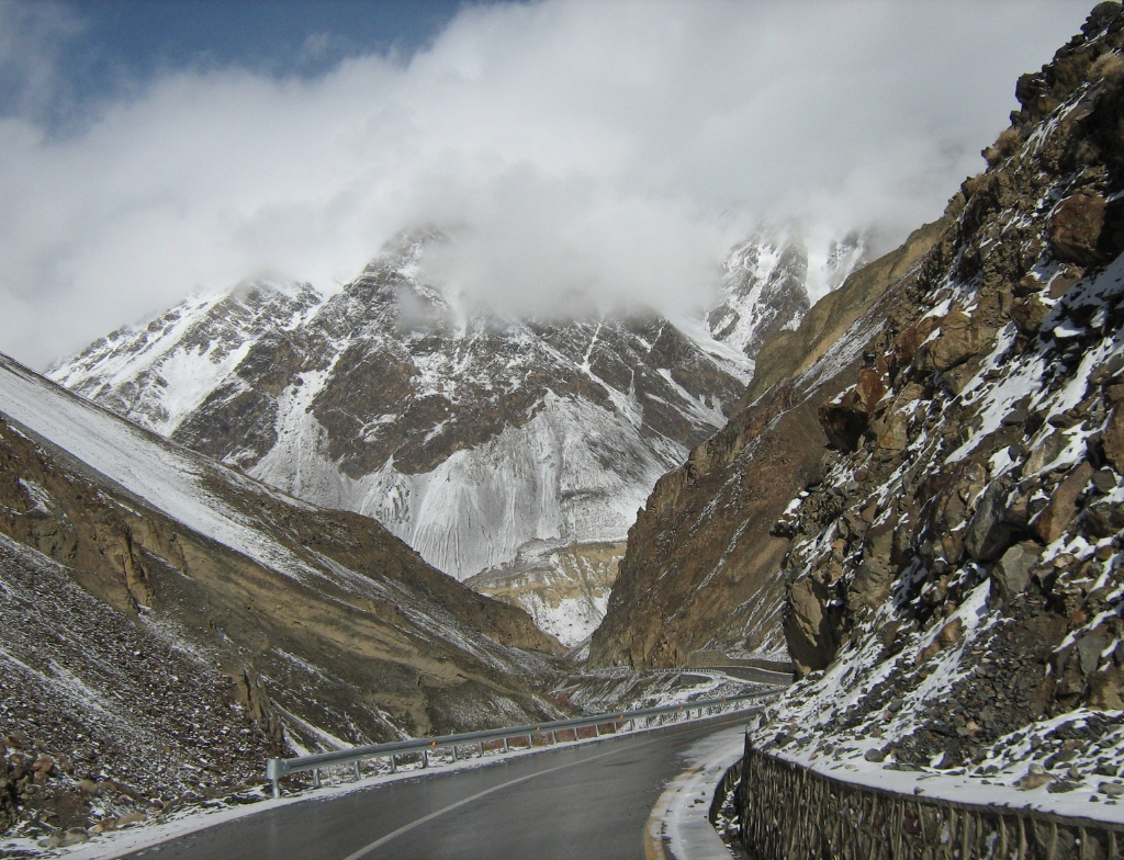
The Karakoram Highway, positioned at high altitudes amid mountainous terrain, undergoes varied weather conditions. In addition, the Summer months (June to August) bring mild to warm temperatures at lower elevations, while winter (December to February) entails harsh cold and snowfall at higher altitudes. Rainfall occurs in lower sections during summer, contrasting with prevalent snowfall in elevated areas. Risks of landslides heighten during heavy precipitation, necessitating caution for travelers navigating this challenging route.
Karakoram Highway Safety
Moreover, Safety measures are of paramount importance on the Highway (KKH) due to its challenging terrain and unpredictable weather conditions.
- The KKH’s construction and maintenance align with strict engineering standards, with frequent inspections.
- Guardrails and barriers are built in important areas to prevent vehicles from deviating off the road and plunging into deep ravines.
- Cautionary signs and reflectors help vehicles avoid potential hazards and make the road more visible at night.
- To mitigate the risks connected with adverse weather conditions, snow shelters.
- Local governments and road maintenance teams are always working to improve safety measures along the KKH.
Highest Point of Karakoram Highway
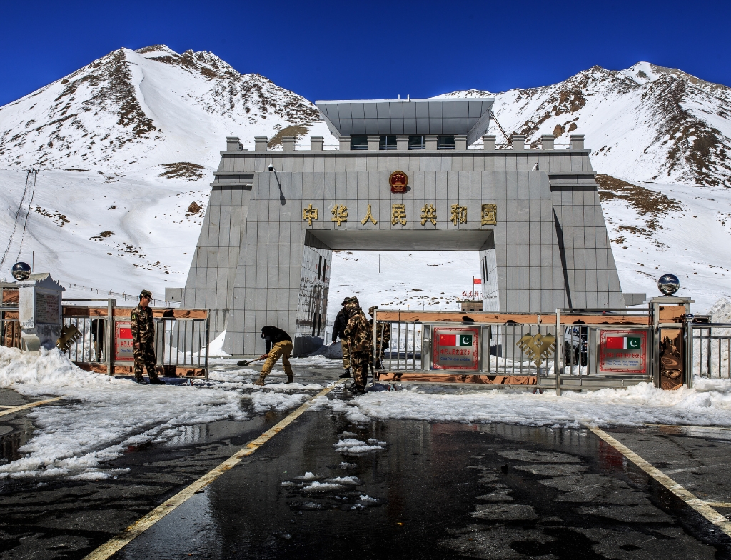
The Khunjerab Pass is the highest point along the Karakoram Highway (KKH). The Khunjerab Pass is located on the boundary between Pakistan and China, specifically between Gilgit-Baltistan and Xinjiang. Khunjerab Pass is around 4,693 meters above sea level.
Chinese graveyard near Karakoram Highway
The Chinese graveyard near this Highway (KKH) in Gilgit has a particular historical and cultural value, highlighting the long-standing relationship between China and Pakistan. In addition, This burial place serves as a sad reminder of the persons who played crucial roles in the building, and maintenance.
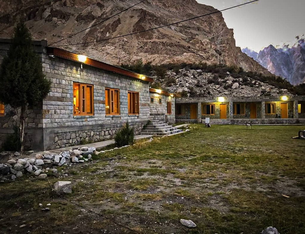
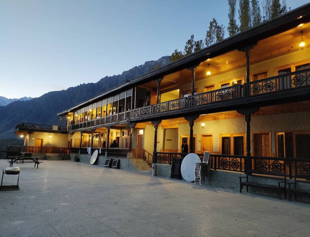
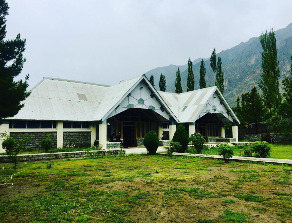
Karakoram Highway Hotels
Fairy Meadows Cottages, Raikot
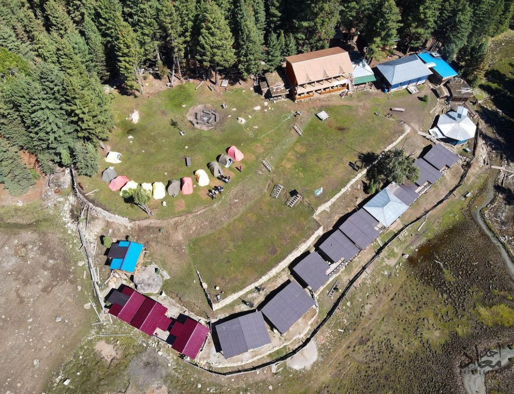
Fairy Meadows Cottages, located along the KKH, offers a unique experience near the base of Nanga Parbat, the world’s ninth-highest mountain.
Concordia Motel, Karimabad
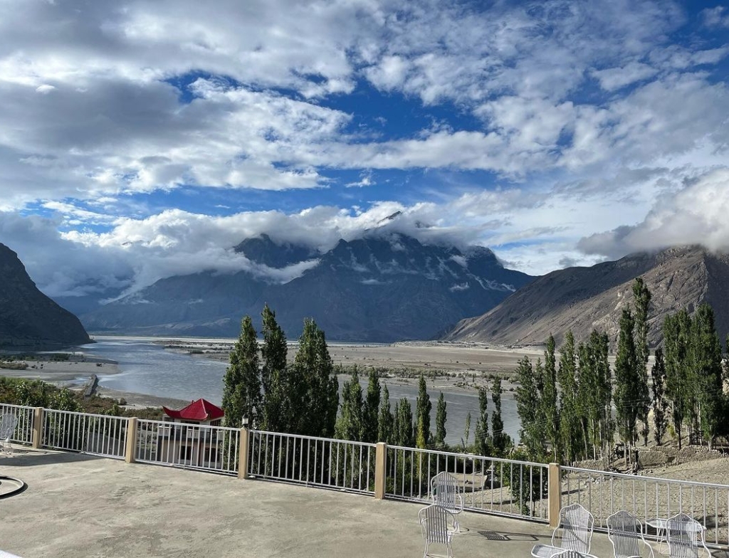
Located in Karimabad, a town along the KKH, the Concordia Motel provides pleasant accommodations and serves as an excellent base.
Mountain Story, Passu
Passu is a scenic village on the KKH, and Mountain Story offers peaceful accommodation with views of the Passu Cones.
Sarai Silk Route Hotel, Gulmit
Gulmit is another picturesque village on the KKH, and Sarai Silk Route Hotel provides a mix of comfort and local kindness.
Hunza Embassy Hotel, Karimabad
This hotel in Karimabad moreover is an ideal location for those touring the Hunza Valley and its surroundings.
PTDC Motel, Sost
Sost is Pakistan’s final major town before the Khunjerab Pass, and the Pakistan Tourism Development Corporation (PTDC) Motel offers basic accommodations to visitors.